Hands-on Kentucky State University program connects emerging technologies with education,
careers, and real-world challenges
FRANKFORT, Ky. — Preparing young people for an innovation-driven economy means giving
them opportunities to work with emerging technologies and understand how those tools
can solve problems in their communities.
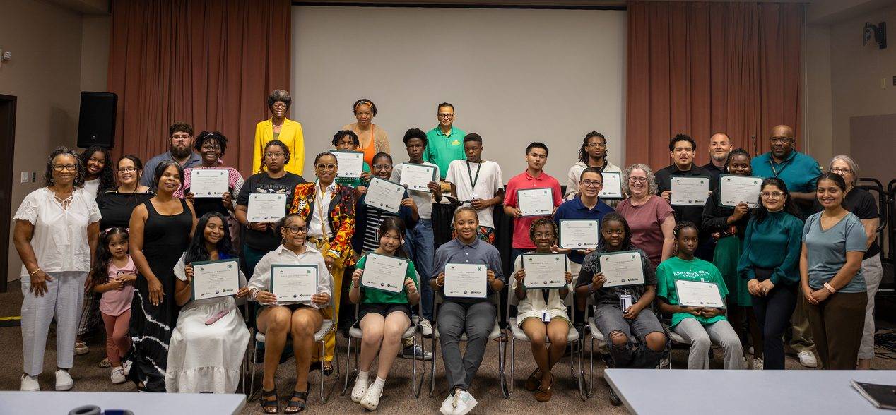
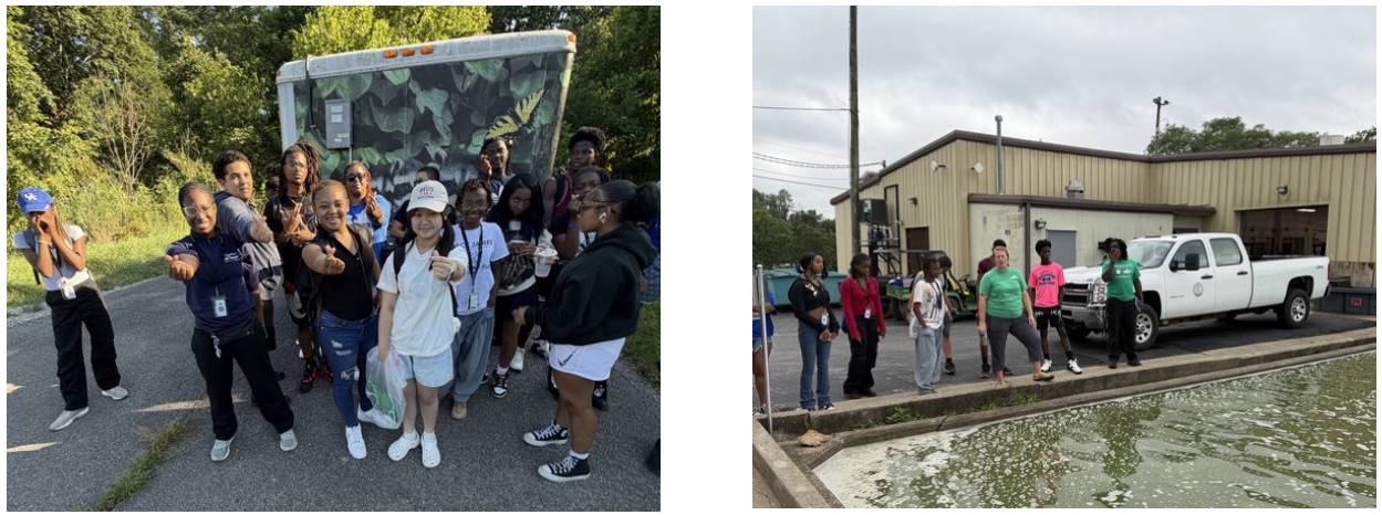
Kentucky State University’s 2026 GEO-STEM Summer Camp put that approach into practice July 26–31, giving students from across the region hands-on experience with drones, geographic information systems, sensors, environmental monitoring, and field research.
The weeklong partnership between Kentucky State’s 4-H Youth Development Program and Center for Geospatial Intelligence and Environmental Security combined geospatial science, environmental science, agriculture, and career exploration. Activities helped participants build technical knowledge while discovering educational and career pathways in rapidly evolving STEM fields.
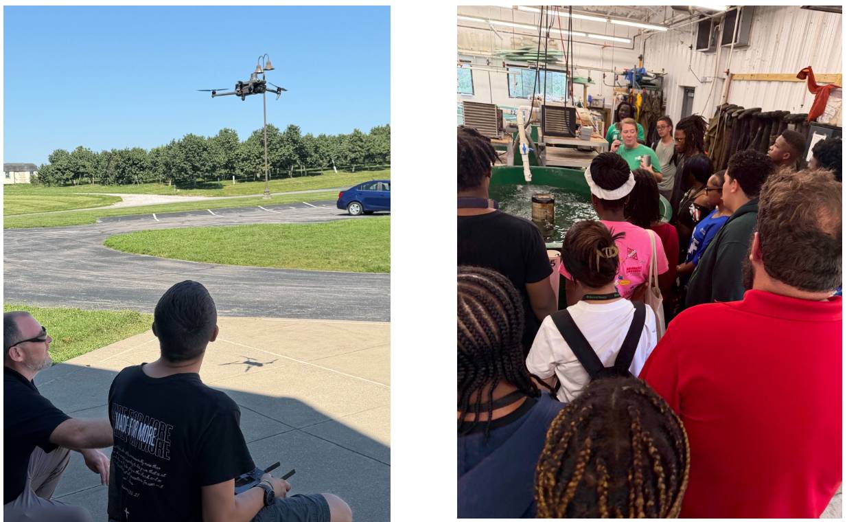
Students learned how researchers collect, analyze, and apply location-based data to address challenges in agriculture, environmental protection, natural resource management, and public safety. The experience connected classroom concepts with practical applications that benefit communities and support Kentucky’s workforce needs.
A session led by the Kentucky Department of Forestry’s Wildfire Program demonstrated how GIS tools can help assess wildfire risks and guide natural resource decisions. Students saw how geospatial technology supports the work of scientists, researchers, emergency professionals, government agencies, and other employers.
“The camp demonstrated what we can accomplish when Kentucky State’s academic, research, and Extension resources come together around a shared goal of creating meaningful opportunities for young people,” said Dr. Tyrell Kahan, associate Extension administrator for Kentucky State’s Cooperative Extension Program. “We look forward to building on this collaboration and creating additional opportunities for Kentucky youth to explore STEM fields and discover pathways to college and careers.”
Dr. Buddhi Gyawali, director of the Center for Geospatial Intelligence and Environmental Security, supported the partnership and helped connect participants with the Center’s expertise, facilities, and technology. Jeffrey Coles, area agent for Kentucky State’s Small Farm Program, served as camp director and led the program throughout the week.
The camp reflects Kentucky State’s commitment as an 1890 land-grant institution to hands-on learning, applied research, and career-connected experiences. By bringing together University researchers, Extension professionals, and community partners, Kentucky State is helping prepare future leaders to succeed in the workforce and apply their knowledge to challenges facing Kentucky and beyond.
A GEO-STEM Summer Camp recap video offers a closer look at the week’s activities.
The camp was supported by the U.S. Department of Energy’s “Geospatial-Artificial Intelligence Enhanced Curriculum for Minority Serving Institutions” project (Award No. DE-EM0005308); the National Science Foundation’s “Preparing the Pipeline of Next Generation STEM Professionals” project (HBCU-UP Award No. HRD 2011917); and the U.S. Department of Agriculture’s “Generating and Sustaining the Next Generation of the Food, Agriculture, Natural Resources, and Human Sciences Workforce through International Experiential Learning, Outreach and Engagement” project (Award No. 2023-70440-40145; Kentucky State subaward No. UMES/NEXTGEN/Kentucky-01-5208630).