Asmita Satyal
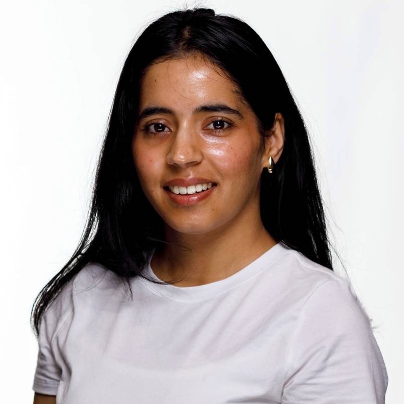 Asmita Satyal holds a Bachelor degree of Science in Environmental Science from Kathmandu
University, Nepal. For her undergraduate research, she assessed site use by smooth
coated otters along the Geruwa River channel in western Nepal, work she subsequently
extended through a team project supported by a grant from WWF Nepal. She also completed
an internship at the Himalayan Cryosphere, Climate and Disaster Research Centre at
Kathmandu University, where she engaged with research on climate and disaster processes
in mountain environments. She is currently a graduate student in the Master of Science
in Environmental Studies and Technology program at Kentucky State University and serves
as a Graduate Research Assistant in the Centre for Geospatial Intelligence and Environmental
Security.
Asmita Satyal holds a Bachelor degree of Science in Environmental Science from Kathmandu
University, Nepal. For her undergraduate research, she assessed site use by smooth
coated otters along the Geruwa River channel in western Nepal, work she subsequently
extended through a team project supported by a grant from WWF Nepal. She also completed
an internship at the Himalayan Cryosphere, Climate and Disaster Research Centre at
Kathmandu University, where she engaged with research on climate and disaster processes
in mountain environments. She is currently a graduate student in the Master of Science
in Environmental Studies and Technology program at Kentucky State University and serves
as a Graduate Research Assistant in the Centre for Geospatial Intelligence and Environmental
Security.
Her research applies geographic information systems, remote sensing, and machine learning
to problems of flood hazard, climate risk, and environmental security, with particular
attention to communities where physical exposure and social vulnerability intersect.
She works extensively in ArcGIS Pro, using ModelBuilder and the ArcPy and Spatial
Analyst environments for terrain analysis, hydrologic modeling, and multi criteria
suitability mapping, and complements this with QGIS, Google Earth Engine, and Python
based geospatial libraries for satellite image processing and predictive modeling.
https://www.linkedin.com/in/asmita-satyal-a655a03b9/